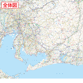
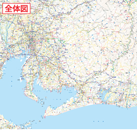
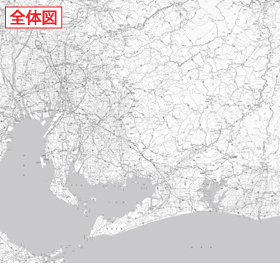
Detailed map by prefecture (Tokai area)【Paid map】2022 revision【Approved by the Geographical Survey Institute of Japan】
●Detailed map by prefecture (Tokai area)【2022 revision】
Aichi prefecture Gifu Shizuoka prefecture
●Mie Prefecture Scale:1/200,000 [ GSI approval number R4 JHs 305]
¥45,000(tax included)
●A type
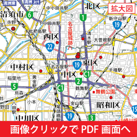
Output size:W650.0mm × H600.0mm Number of layers:141
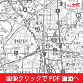
When you open the PDF data by clicking on the image of the red band, more detailed data you can see.
・The characters in the map may be replaced with fonts different from the original data depending on your PC environment. Please be careful.
The contents written over time of data creation may differ from the current ones. (Including typographical errors)
This site does not take any responsibility for these. Please be careful when using it for commercial purposes.
¥45,000(tax included)
●B type
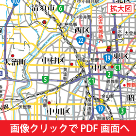
Output size:W 650.0mm × H 600.0mm Number of layers:134
When you open the PDF data by clicking on the image of the red band, more detailed data you can see.
・The characters in the map may be replaced with fonts different from the original data depending on your PC environment. Please be careful.
The contents written over time of data creation may differ from the current ones. (Including typographical errors)
This site does not take any responsibility for these. Please be careful when using it for commercial purposes.
¥45,000(tax included)
●C type
Output size:W650.0mm × H600.0mm Number of layers:140
When you open the PDF data by clicking on the image of the red band, more detailed data you can see.
・The characters in the map may be replaced with fonts different from the original data depending on your PC environment. Please be careful.
The contents written over time of data creation may differ from the current ones. (Including typographical errors)
This site does not take any responsibility for these. Please be careful when using it for commercial purposes.