Prefectural map/prefectural border cut version (Hokuriku region)【Paid map materials】2019.7 revision
●Prefectural map/prefectural border cut version (Hokuriku region) 2019.7 revision
Toyama prefecture Ishikawa prefecture Fukui prefecture
●【Toyama prefecture】2019.7 revision Scale:1/450,000
¥1,050(tax included)
●A type
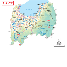
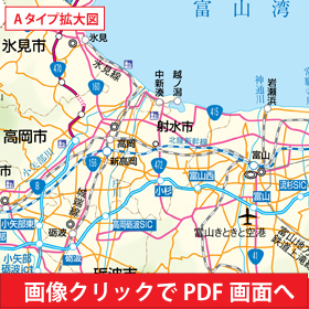
Output size:W275.0mm × H195.4mm File size:1.2MB Number of layers:28
When you open the PDF data by clicking on the image of the red band, more detailed data you can see.
・The characters in the map may be replaced with fonts different from the original data depending on your PC environment. Please be careful.
The contents written over time of data creation may differ from the current ones. (Including typographical errors)
This site does not take any responsibility for these. Please be careful when using it for commercial purposes.
¥1,050(tax included)
●B type
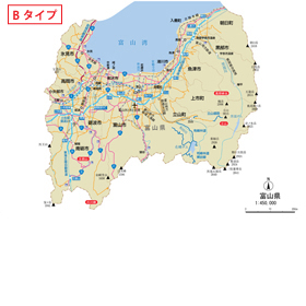
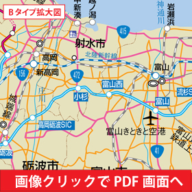
Output size:W275.0mm × H195.4mm File size:856KB Number of layers:23
When you open the PDF data by clicking on the image of the red band, more detailed data you can see.
・The characters in the map may be replaced with fonts different from the original data depending on your PC environment. Please be careful.
The contents written over time of data creation may differ from the current ones. (Including typographical errors)
This site does not take any responsibility for these. Please be careful when using it for commercial purposes.
¥1,050(tax included)
●C type
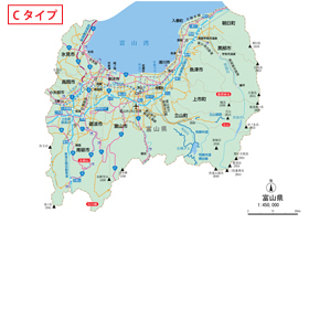
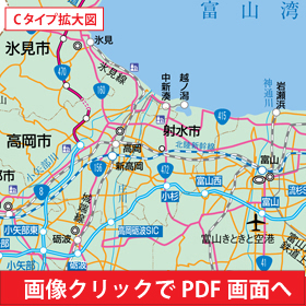
Output size:W275.0mm × H195.4mm File size:860KB Number of layers:23
When you open the PDF data by clicking on the image of the red band, more detailed data you can see.
・The characters in the map may be replaced with fonts different from the original data depending on your PC environment. Please be careful.
The contents written over time of data creation may differ from the current ones. (Including typographical errors)
This site does not take any responsibility for these. Please be careful when using it for commercial purposes.
¥1,050(tax included)
●D type
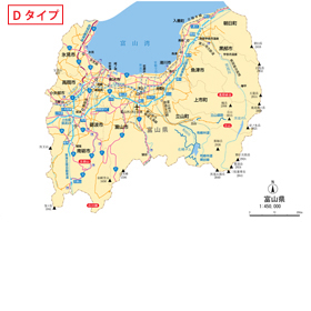
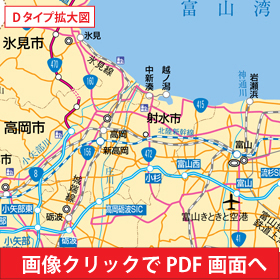
Output size:W275.0mm × H195.4mm File size:872KB Number of layers:23
When you open the PDF data by clicking on the image of the red band, more detailed data you can see.
・The characters in the map may be replaced with fonts different from the original data depending on your PC environment. Please be careful.
The contents written over time of data creation may differ from the current ones. (Including typographical errors)
This site does not take any responsibility for these. Please be careful when using it for commercial purposes.
¥1,050(tax included)
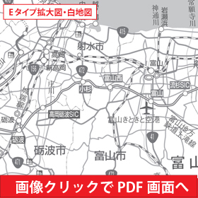
●E type(Blank map)
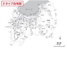
Output size:W275.0mm × H195.4mm
When you open the PDF data by clicking on the image of the red band, more detailed data you can see.
・The characters in the map may be replaced with fonts different from the original data depending on your PC environment. Please be careful.
The contents written over time of data creation may differ from the current ones. (Including typographical errors)
This site does not take any responsibility for these. Please be careful when using it for commercial purposes.