Free members / High resolution JPEG images, Adobe Illustrator aidata can be downloaded for free!
Paid members / High resolution JPEG images, Adobe Illustrator aidata can be downloaded for free!
Iwate Prefecture Miyagi Prefecture Aomori Prefecture Akita prefecture Fukushima Prefecture Yamagata Prefecture
●Yamagata Prefecture A type / free map material
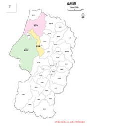
Output size: W 190mm × H 276mm
File size: JPG image 552KB
File size: ai data 280KB
Number of layers:6~7
・The characters in the map may be replaced with fonts different from the original data depending on your PC environment. Please be careful.
●Yamagata Prefecture B type / free map material
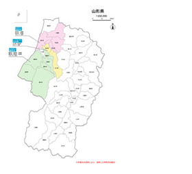
Output size: W 210mm × H 297mm
File size: JPG image 696KB
File size: ai data 304KB
Number of layers:6~7
・The characters in the map may be replaced with fonts different from the original data depending on your PC environment. Please be careful.
●Yamagata Prefecture C type / free map material
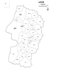
Output size: W 190mm × H 276mm
File size: JPG image 500KB
File size: ai data 244KB
Number of layers:6~7
・The characters in the map may be replaced with fonts different from the original data depending on your PC environment. Please be careful.